For farmers, ranchers, and landowners in Washington State, understanding how to read and utilize maps is essential. Whether you’re managing timberland, evaluating grazing land, or planning irrigation in the Columbia Basin, maps are invaluable tools. This guide will help you navigate these maps effectively, understand their symbols, and leverage tools like Land.ID to enhance your land management strategies.
Reading a Map: The Basics
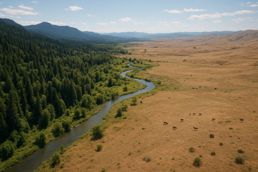
Maps are more than just representations of geography; they are comprehensive tools that convey critical information about terrain, land use, and resources. In Washington, where diverse landscapes range from dryland wheat fields to dense forests, knowing how to read a map can significantly impact land management decisions.
Determining North
Most maps are oriented with north at the top. To confirm this, look for a compass rose or a north arrow. In the field, you can use a compass or a GPS device to align your map with the actual landscape. Understanding orientation is crucial for tasks like planning crop rotations or assessing timberland boundaries.
Deciphering Map Symbols
Maps use symbols to represent various features. In Washington, you might encounter symbols for irrigation districts, water rights, and county zoning. Familiarize yourself with the legend on each map, as it will explain these symbols. For instance, contour lines can indicate elevation changes, crucial for planning erosion control or water management strategies.
Benefits of Using Land.ID
Land.ID is an advanced tool that enhances traditional map reading by integrating digital data with geographic information systems (GIS). This can be particularly beneficial in Washington, where land use regulations and environmental considerations are complex.
- Enhanced Data Access: Land.ID provides access to detailed data layers, including soil types, wildlife habitats, and zoning regulations. This is vital for compliance with agencies like the WSDA and NRCS.
- Improved Decision Making: By visualizing data such as CRP land and FSA designations, landowners can make informed decisions about land use and stewardship.
- Streamlined Management: For timberland owners, Land.ID can assist in sustainable forestry practices by mapping out tree species and growth patterns. For more on timberland management, visit our timberland ownership guide.
Practical Applications in Washington
Washington’s unique agricultural and environmental landscape requires tailored approaches. For example, irrigated agriculture in the Columbia Basin relies heavily on precise water management. Maps can help identify the most efficient irrigation routes and monitor water usage, supporting sustainable practices. Learn more about this in our Columbia Basin irrigation article.
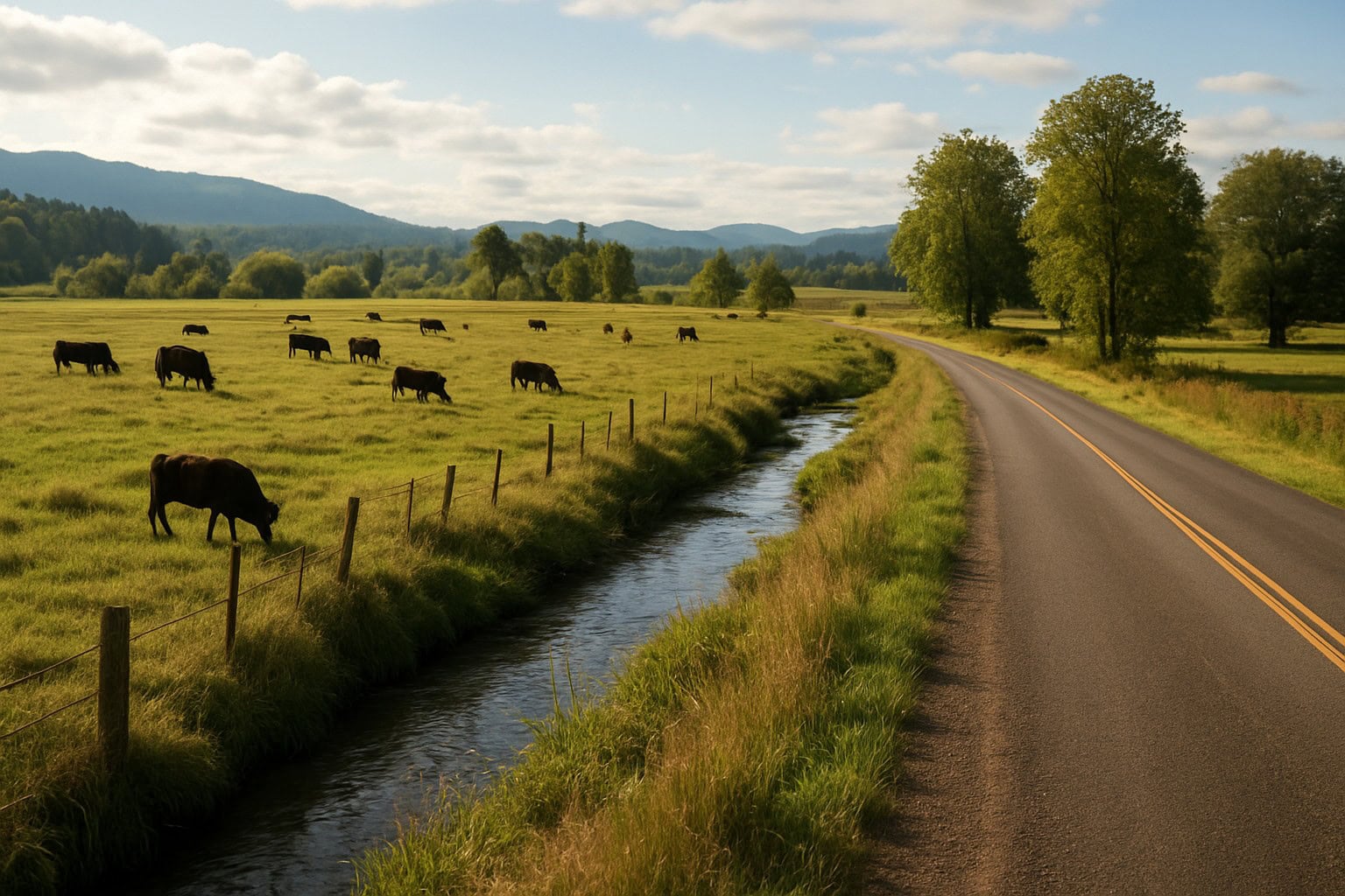
For ranchers, understanding land topography and vegetation can optimize grazing patterns and improve pasture management. Maps can also aid in planning controlled burns, a practice beneficial for habitat management and reducing wildfire risks. Explore this topic further in our article on controlled burns.
Conclusion
Maps are indispensable tools for anyone involved in land management in Washington State. By mastering map reading and utilizing advanced tools like Land.ID, landowners can enhance their operations, comply with regulations, and promote sustainable practices. For personalized assistance and to explore land opportunities, contact Washington State Land for Sale today.